BASAR 3
| Type | Oceanographic cruise |
|---|---|
| Ship | L'Europe |
| Ship owner | Ifremer |
| Dates | 15/09/1998 - 26/09/1998 |
| Chief scientist(s) | MARSSET Tania  |
GEO-OCEAN - UMR 6538 Univ. Brest, CNRS, Ifremer, Univ. Bretagne Sud Place Nicolas Copernic 29280 Plouzané |
|
| Project manager | BERNE Serge |
| DOI | 10.17600/98060090 |
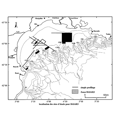
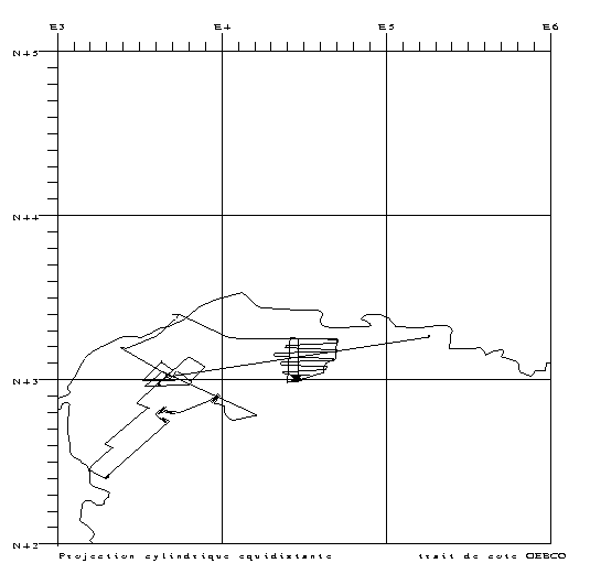
| Objective | The objective of BASAR3 was to acquire Very high resolution geophysical data to supplement data acquired during the BASAR and CALMAR cruises. These were: 1) VHR seismic (sparker) data in the paleovalley of the small arm of the Rhone River, from the current Rhone delta to the Petit Rhône canyon head. The main phases of cutting and filling of this paleovalley will be compared and even correlated with the regional erosion surfaces and the deposit units observed on the continental shelf, which are attributed to variations in relative sea level in the recent Quaternary period (the past 100 thousand years). Moreover, some additional profiles linking the different BASAR boxes will enable the evolution in the shape of deposits from coastal zones to the edge of the shelf to be monitored. 2) mapping data (imaging, EM1000 bathymetry) by investigating the parts upstream of some canyon heads. The objective is to complement the morpho-bathymetric summary drawn up from the edge of the continental shelf to the foot of the slope in the western sector of the Gulf of Lion. This is part of the "Gulf of Lion" worksite project of the "MARGES" programme, a project of the European "SEVENTS" programme (FP5). |


