ANTIPLAC
| Type | Oceanographic cruise |
|---|---|
| Ship | L'Atalante |
| Ship owner | Ifremer |
| Dates | 10/01/2007 - 23/01/2007 |
| Chief scientist(s) | PATRIAT Martin  |
GEO-OCEAN - UMR 6538 Univ. Brest, CNRS, Ifremer, Univ. Bretagne Sud Place Nicolas Copernic 29280 Plouzané |
|
| DOI | 10.17600/7010010 |
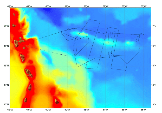
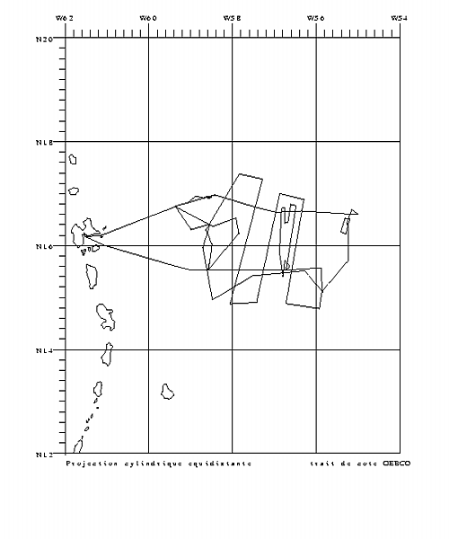
| Objective | The survey is part of the EXTRAPLAC programme for legal continental shelf extension. The Antilles (West Indies) islands are located on a so-called active margin characterized by the presence of an ocean subduction zone. This geological context is generally not very favourable for continental shelf extension purposes. However, on their Atlantic side, the West Indies do have specific geological features that give hope for a possible extension: there is an accretion front fairly distant from the coast and basins which are isolated but which have thick sediment cover. Because of this, the ANTIPLAC cruise was prepared to map the front of the accretion zone and the thickness of sediments offshore from this front. The cruise routes determined would: 1) cross the accretion front(whose position was already, quite accurately, known thanks to existing scientific publications) at a number of positions, particularly at the somewhat salient points on this front which would be best to calculate the outer boundary of the legal continental shelf; and 2)use seismic profiles to measure the thickness of sediments in the basins, particularly those located to the north of the Tiburon and especially the Barracuda ridges. This falls under the EXTRAPLAC project. |


