PROGRAMME PRISMA
| Type | Oceanographic cruise |
|---|---|
| Ship | Marion Dufresne |
| Ship owner | TAAF |
| Dates | 29/05/2004 - 06/06/2004 |
| Chief scientist(s) | SULTAN Nabil  |
GEO-OCEAN - UMR 6538 Univ. Brest, CNRS, Ifremer, Univ. Bretagne Sud Place Nicolas Copernic 29280 Plouzané |
|
| DOI | 10.17600/4200150 |
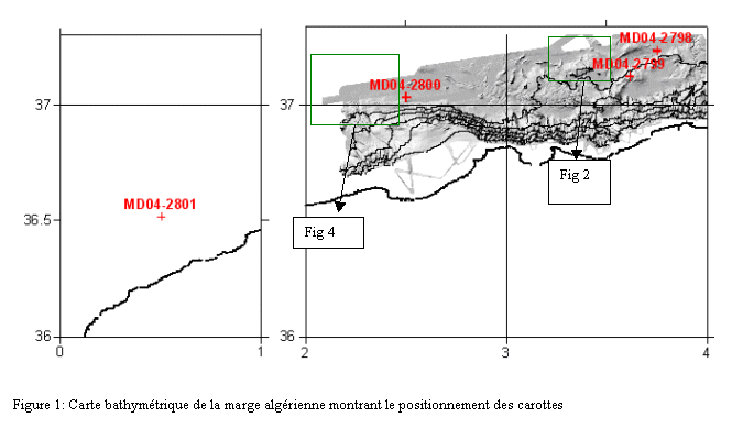
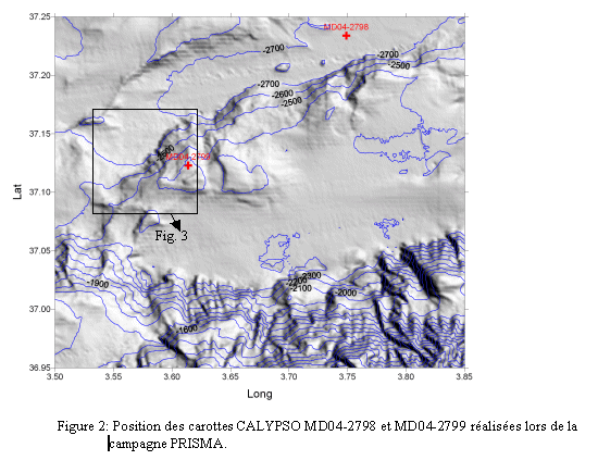
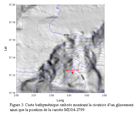
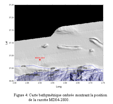
| Objective | The PRISMA (PENFELD to assess sediment instability risks on the Algerian margin) program is included in the MD140/PRIVILEGE survey (French acronym: Program Intégré Valorisé par l'IFREMER, le LSCE, l'EPOC en GÉologie). Northern Algeria has experienced several moderate to strong earthquakes over the past century. The most violent one recorded occurred on 10 October 1980 at El Asnam (now Ech Chélif) which reached a magnitude of 7.3 (Ms) and caused over 5,000 casualties. More recently, on 21 May 2003, an earthquake of a magnitude of 6.6 struck the town of Boumerdes near Alger, killing 2,266 and injuring over 10,000 people. The Boumerdes seism created large landslides of the submarine slope, seen thanks to the numerous breaks in telephone cables. This shows the importance of rapid assessment of sediment instability hazards on a very sharp slope characterized by significant tectonic activity. Recovery of the 4 Calypso cores (figures 1, 2, 3, 4 and table 1) during the PRISMA mini-cruise will complement the geophysical data (bathymetry and EM300 imaging) already acquired during the Maradja cruise (21 August to 18 September 2003 aboard R/V Le Suroît). Measurements taken on the core samples recovered will provide indications of the 3D geometry of the landslide as well as the gravity deposits. In addition, lithological, mechanical and physical parameters of the sediment determined upstream and in the landslide loop will be indispensable in order to 1) understand the mechanisms causing the landslides observed and 2) assess risks of sediment instability and liquefaction in this area. The related programs are EURODOM and MARADJA. |

