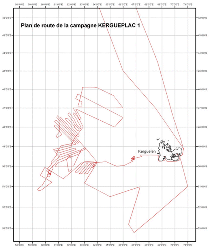
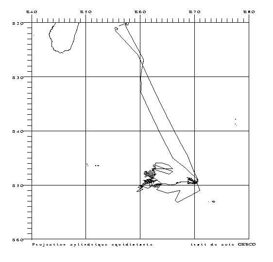
MD 137 / KERGUEPLAC-1
| Type | Oceanographic cruise |
|---|---|
| Ship | Marion Dufresne |
| Ship owner | TAAF |
| Dates | 11/02/2004 - 15/03/2004 |
| Chief scientist(s) | ROEST Walter  |
GEO-OCEAN - UMR 6538 IFREMER - Technopôle Brest-Iroise IUEM - Rue Dumont d'Urville 29280 Plouzané |
|
| Project manager | ROEST Walter |
| DOI | 10.17600/4200040 |
| Objective | A mission of the national Extraplac program aiming to draw up the technical file to support the claim for legal extension of France's continental shelf, in the framework of Article 76 of the United Nations Convention on Law of the Sea. Acquisition of geophysical data required to determine the foot of the slope of the Kerguelen shelf and detailed mapping of the 2,500 m isobath in key areas. The Kergueplac-1 mission focused on the western area of the Kerguelen islands shelf. |