ZONECO11
| Type | Oceanographic cruise |
|---|---|
| Set | This cruise is part of the set ZONECO |
| Ship | L'Atalante |
| Ship owner | Ifremer |
| Dates | 08/09/2004 - 05/10/2004 |
| Chief scientist(s) | LAFOY Yves |
DIRECTION DE L'INDUSTRIE, DES MINES ET DE L'ENERGIE (DIMENC) 1 ter rue Unger BP 465 98845 NOUMEA 687.27.02.30 |
|
| DOI | 10.17600/4010090 |
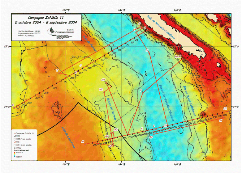
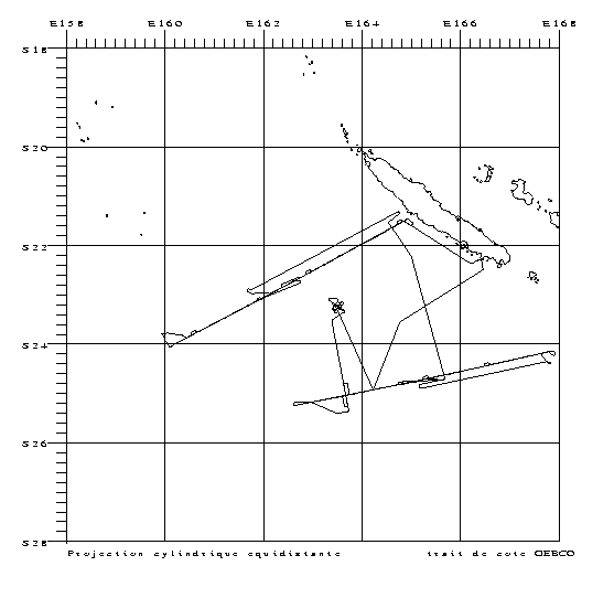
| Objective | The ZoNéCo 11 cruise was conducted under the authority of the DIMENC (New Caledonia Directorate of industry, mines and energy), with the participation of IFREMER and the IFP (French petroleum institute) aboard L'Atalante, from 8 Sept. to 5 Oct. It was a heavy seismics survey conducted with the "mineral resources" strand of the Zoneco program managed by ADECAL (the New Caledonian economic development agency). The ZoNéCo 11 survey, aboard Ifremer's RV L'Atalante, deployed heavy seismic equipment, ie, multitrace reflection (360 traces), refraction (15 OBS) and high resolution equipment. During the North refraction profile's acquisition (profile Z11_01), seismic shots fired at sea were recorded on Grande Terre thanks to the listening stations at the IRD's center in Noumea. The ZoNéCo 11 survey's data acquisition aimed to provide images: - using wide angle seismic refraction data, the deep structure and nature (thin continental, oceanic, intermediate?) of the units of the ridge and basin system located southwest of New-Caledonia (obtaining velocity laws by wide angle refraction seismics), - using multitrace seismic reflection, the structural style and sedimentary filling of known geological units, to better appraise the oil production potential, - using high resolution seismics, characterizing a reflector which could represent the basis of potential gas hydrates in the Fairway basin. The ZoNéCo 11 survey provided better understanding of the geology, deep structure and crust nature of the Fairway and New Caledonia basins, in order to clarify their (liquid or gas) hydrocarbon-producing potential. It falls under the EXTRAPLAC and ZoNéCo programs. |


