NOUCAPLAC/2
| Type | Oceanographic cruise |
|---|---|
| Ship | L'Atalante |
| Ship owner | Ifremer |
| Dates | 25/08/2004 - 07/09/2004 |
| Chief scientist(s) | LOUBRIEU Benoit  |
GEO-OCEAN - UMR 6538 Univ. Brest, CNRS, Ifremer, Univ. Bretagne Sud Place Nicolas Copernic 29280 Plouzané |
|
| Project manager | ROEST Walter |
| DOI | 10.17600/4010080 |
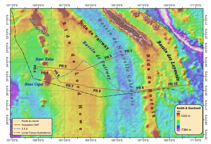
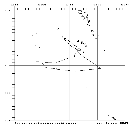
| Objective | The survey is part of the EXTRAPLAC program for legal continental shelf extension. Seismic and bathymetric data from the Noucaplac-2 survey will be used to confirm the continuity of structures, and most especially Lord Howe Rise, their nature and the sedimentary thicknesses found there, as well as specifying the location of the foot of the New Caledonian basin's slope. West of Caledonia, the profiles transect the New Caledonian basin, the Fairway ridge and basin and Lord Howe rise. To the south, the profiles also cut across the Norfolk ridge and the Loyalty ridge and basin. The survey results will provide justification for the legal continental shelf claims. |


