GEOSTBRIEUC-2-MAPFC
| Type | Oceanographic cruise |
|---|---|
| Ship | Thalia |
| Ship owner | Ifremer |
| Dates | 29/04/2022 - 11/05/2022 |
| Chief scientist(s) | MENIER David |
LABORATOIRE GÉOSCIENCES OCÉAN Université de Bretagne Sud Rue andré Lwoff 56017 VANNES |
|
| DOI | 10.17600/18002044 |
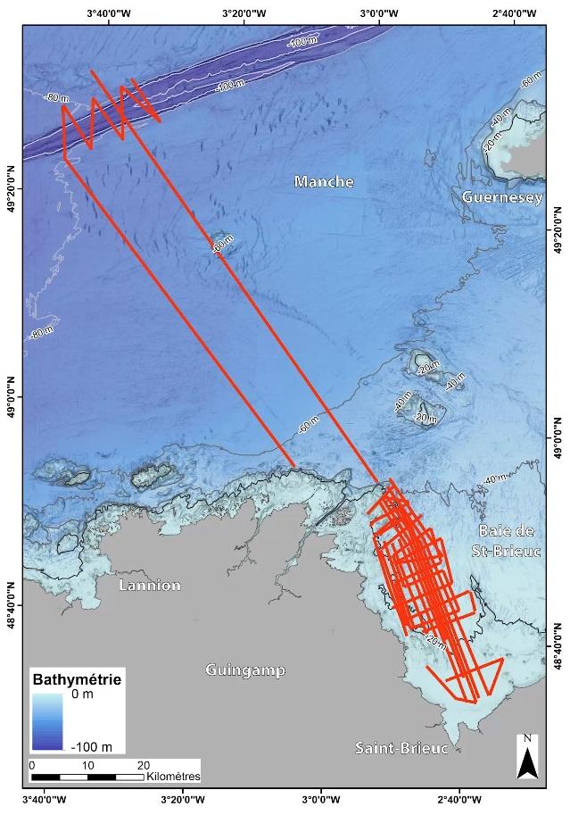
| Objective | The bay of Saint-Brieuc or bay of Armor presents a shaped morphology which extends over 800 km2 between the Bréhat archipelago and Cape Fréhel. This coastal area bordering the English Channel presents a complex and diversified coastline alternating with cliff coasts, cove beaches and vast silty-sandy stretches on which numerous socio-economic activities at the land-sea interface are developed. The current geomorphological context of the bay is part of a tectonic and climatic heritage over several million years where the sedimentary episodes of terminal Cenozoic age recorded by the plio-quaternary cliffs and the current coastal systems. However, recording the conditions for setting up the Holocene sedimentary prism remains poorly constrained by the fact that this recent filling is based on a mixed abrasion surface, marine and continental, probably of polygenic age and weakly incised (Augris et al ., 1996). Indeed, the sedimentary prism rests on a large geological entity of Proterozoic age (set up during the Cadomian orogeny) "deformed / affected" during the Hercynian orogeny, and is controlled structurally by N160 direction faults dating from the aborted Atlantic pre-rifting phase of the Permo-Trias (Ziegler, 1990) then reactivated with the Cenozoic (Guillocheau et al., 2003). In addition, it is part of the "Channel" system, a shallow epicontinental sea, often emerged during the ice ages of the Quaternary. In this context, the high-frequency quaternary glacio-eustatic cycle has caused significant fluctuations in the baseline, a major cause of quaternary morphogenesis (Lautridou et al. 2000). The objective of this campaign is to continue and complete the study on the construction dynamics (Diachronic analysis) of the Holocene sedimentary prism of the Bay of Saint Brieuc in a land-sea continuum framework using high resolution seismic data, bathymetric data and digital terrain models (current and fossil) in order to extract a model of land-sea sedimentary dynamics for the time period covering the Holocene.
|