MAYOBS19
| Type | Oceanographic cruise |
|---|---|
| Set | This cruise is part of the set MAYOBS |
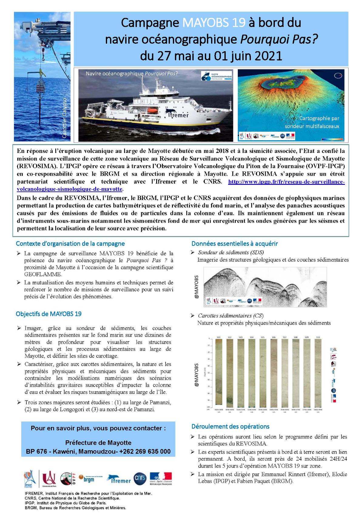
| Ship | Pourquoi pas ? |
| Ship owner | Ifremer |
| Dates | 27/05/2021 - 01/06/2021 |
| Chief scientist(s) | RINNERT Emmanuel  , PAQUET Fabien , LEBAS Elodie , PAQUET Fabien , LEBAS Elodie |
GEO-OCEAN - UMR 6538 Univ. Brest, CNRS, Ifremer, Univ. Bretagne Sud Place Nicolas Copernic 29280 Plouzané |
|
| DOI | 10.17600/18001985 |
| Objective | In response to the volcanic eruption off Mayotte that began in May 2018 and the associated seismicity, the State entrusted the monitoring mission of this volcanic area to the Mayotte Volcanological and Seismological Monitoring Network (IPGP operates this network through the Volcanological Observatory of Piton de la Fournaise (OVPF IPGP) in joint responsibility with the BRGM and its regional directorate in Mayotte. The REVOSIMA is based on a close scientific and technical partnership with Ifremer and the CNRS. As part of REVOSIMA, Ifremer, BRGM, IPGP and CNRS acquire marine geophysical data allowing the production of bathymetric and reflectivity maps of the seabed, and the analysis of acoustic plumes caused by emissions of fluids or particles in the water column They also maintain a network underwater instruments including seabed seismometers which record waves generated by earthquakes and allow the location of their source with precision. The MAYOBS19 monitoring campaign benefits from the presence of the Pourquoi Pas oceanographic vessel near Mayotte during the GEOFLAMME scientific campaign. The pooling of human and technical resources makes it possible to increase the number of surveillance missions for precise monitoring of the development of phenomena. The objectives of MAYOBS19 are:
|