| Mer/Océan |
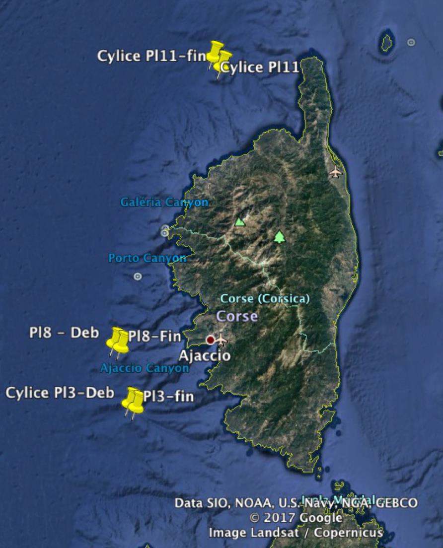
Méditerranée Bassin Occidental (Ouest Corse) |
| Ports |
Port départ : La Seyne-sur-Mer (France)
Port fin : La Seyne-sur-Mer (France)
|
| Limites |
| Nord |
Sud |
Ouest |
Est |
| 42.7 |
41.6 |
8.3 |
9.3 |
|
| Organisme responsable de la campagne |
LABORATOIRE D'ECOGÉOCHIMIE DES ENVIRONNEMENTS BENTHIQUES - UMR 8222 1 avenue Pierre Fabre 66650 Banyuls-sur-mer 33 (0)4 30 19 24 73 http://lecob.obs-banyuls.fr/ |
| Organisme(s) participant(s) |
CNRS |
| Discipline(s) |
| Code |
Libellé |
Quantité |
Responsable |
| D90 |
Autres mesures physiques |
- |
LE BRIS Nadine |
| G08 |
Photographie du fond Appareil photo numérique ARIANE - Photomosaïques sur trajets plongées |
- |
LE BRIS Nadine |
| G71 |
Mesures in-situ du fond CTD ARIANE |
5 Plongées |
LE BRIS Nadine |
| G73 |
Echo sondage vertical |
- |
LE BRIS Nadine |
| G74 |
Echo sondage multifaisceaux SMF à faible altitude ARIANE |
3 Plongées |
LE BRIS Nadine |
| H71 |
Mesures (T,S) de surface en route |
- |
LE BRIS Nadine |
| M06 |
Mesures de routine systématiques |
- |
LE BRIS Nadine |
| R03 |
Déploiement de véhicules robotisés Ariane |
- |
LE BRIS Nadine |
|
| Positionnement |
Système géodésique : WORLD GEODETIC SYSTEM 1984 = WGS84
Système de positionnement : GPS différentiel
|
|


