CARBONSINK 2018
| Type | Oceanographic cruise |
|---|---|
| Ship | L'Europe |
| Ship owner | Ifremer |
| Dates | 03/08/2018 - 26/08/2018 |
| Chief scientist(s) | PERGENT Gérard  , CLABAUT Philippe , CLABAUT Philippe |
SCIENCES POUR L'ENVIRONNEMENT - UMR 6134 Université de Corse Vignola Route des Sanguinaires 20000 Ajaccio |
|
| DOI | 10.17600/18000587 |
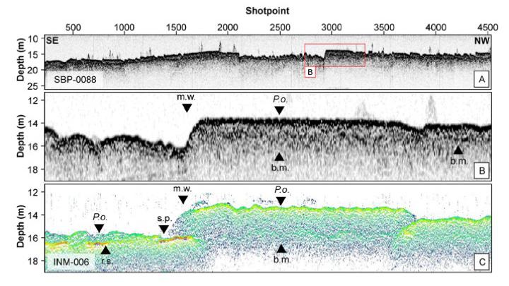
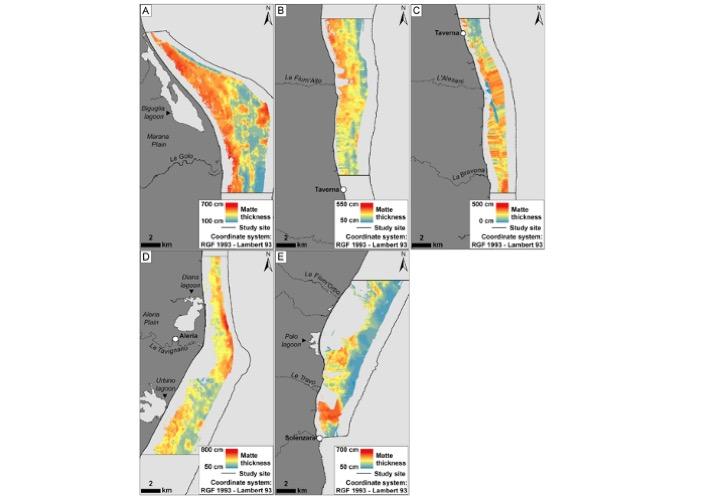
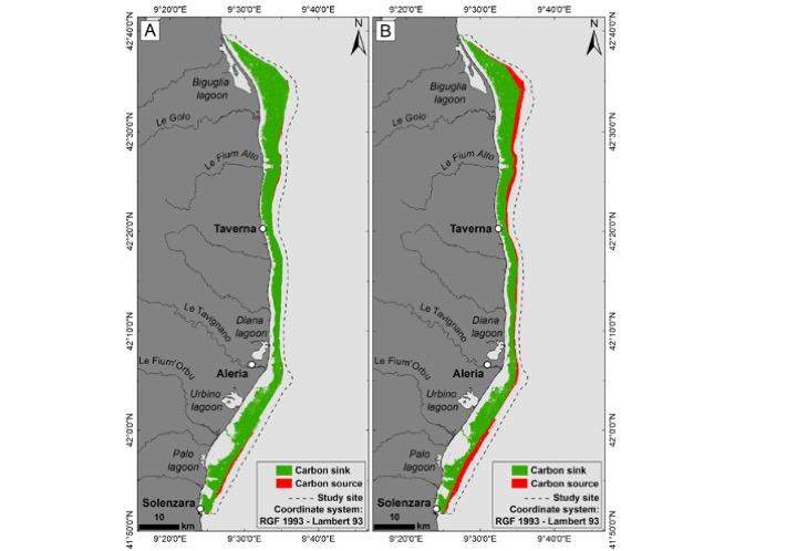
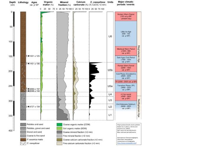
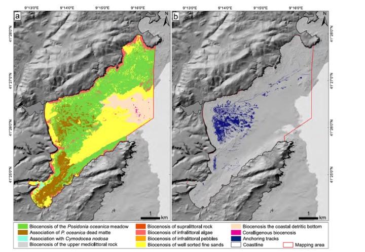
| Objective | The inventory of coastal carbon sinks, present in Corsica, was initiated through several oceanographic surveys thanks to the scientific and technical resources of the French Oceanographic Fleet (CAPCORAL (2010 and 2011), CORALCORSE (2013) and POSIDCORSE (2015)). To date, the entire Cap Corse (west and east coast) and a large part of the eastern coastline, where one of the largest seagrass beds in the Mediterranean, have been mapped. However, the south-east coastline has not been investigated since the initial mapping of the meadow boundaries in 1995, which is all the more regrettable as it corresponds to very specific meadow that develop mainly on rock (rock in place, 'beach rocks') and which have a major ecological interest (ecological corridor between the NATURA 2000 site of the "Great meadow of the Eastern Coast" and the Natural Reserve of Bouches de Bonifacio. The characterization of the Posidonia oceanica matte and in particular its thickness has been successfully tested by seismic reflection during the POSIDCORSE survey thanks to the use of three acquisition systems: the Sparker (1 kHz), the sediment profilers (SDS) Manta EDO (2.5 kHz) and the SDS PeskAvel (3.5 kHz). In order to precisely calibrate these initial results, it is essential to carry out cores in the Posidonia matte in several representative sites in order to check the thickness of these mattes but especially to precisely characterize the carbon present (organic and inorganic carbon content) and its temporal evolution (carbon dating 14). Finally, several anthropogenic impacts likely to degrade the matte de Posidonie were identified during the CORALCORSE and POSIDCORSE surveys. These pressures are particularly worrying because they may cause not only a regression of the meadows, and therefore a decrease in carbon fixation, but also a dismantling of the matte and a release of carbon stored therein. This is the anchoring of large units (tankers, cruise ships, large pleasure craft) at the origin of the opening of real trenches in the meadow, and the trawling that erodes the top of the mattes. An inventory of these pressures must be carried out (location, areas concerned, origin) and measures to reduce their impact on Posidonia oceanica meadows will be proposed in collaboration with the stakeholders concerned and in particular the Office de l'Environnement de la Corse which is partner of the GIREPAM program. The CARBONSINK project is based on three complementary objectives:
|

