SUBSAINTES
| Type | Oceanographic cruise |
|---|---|
| Ship | L'Atalante |
| Ship owner | Ifremer |
| Dates | 02/04/2017 - 24/04/2017 |
| Chief scientist(s) | ESCARTIN Javier  , LE FRIANT Anne , FEUILLET Nathalie , LE FRIANT Anne , FEUILLET Nathalie |
LABORATOIRE DE GEOLOGIE - ENS 24, rue L'homond 75231 PARIS CEDEX 05 +33(0)1 44.32.22.11 |
|
| DOI | 10.17600/17001000 |
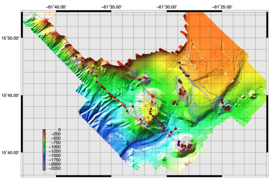
| Objective | Risks associated with submarine faults include both seismic and tsunami hazard, and their understanding requires observations of coseismic fault rupture and displacement, which are also key to understand the evolution of faults, their growth, and the modification of the load and seismic potential throughout fault networks. Observations onland are scarce, and extremely rare and of limited scope in the submarine environment. With the use during the ODEMAR cruise of deep-sea vehicles and their high-resolution geophysical capabilities (microbathymetry, video observations), we demonstrated that we can efficiently map both coseismic and recent deformation structures along submarine faults, open the door to extensive submarine neotectonic studies that we propose to pursue here. The Roseau fault bounds an intra-arc graben between Les Saintes and Dominica Islands in the French Lesser Antilles. It ruptured following the 2004 Mw6.3 Les Saintes earthquake. We have identified markers of coseismic displacement along exposed fault planes at the seafloor, with vertical displacement of 80 cm, measured from 3D terrain modes derived from video imagery. This coseismic deformation is also associated with ruptures of the hanging wall, indicating that at least ~2.5 km of the Roseau Fault ruptured at the seafloor. This area shows numerous recent normal faults, in addition to submarine volcanic centers, that record a history of tectonic and volcanic interactions. No information exists on the absolute and relative age of these structures, nor on the nature of the volcanism, which are key to building the volcanic arc. We propose a ROV (VICTOR6000) and AUV (AsterX) cruise to conduct systematic surveys of the main fault scarps using both microbathymetry and optical surveys (video imagery, photomosaicing) to study the neotectonic evolution of the area, including coseismic displacements. These surveys will also investigate the nature and distribution of volcanic cones, and their interaction with faults. Samples of fault rocks and volcanic units will be used to constrain the deformation history of the fault system, and the timing of both volcanic and tectonic events. The cruise will be conducted onboard N/O l'Atalante (IFREMER) in April 2017. Scientific objectives: 1) High-resolution mapping of faults and volcanic structures to understand the interaction between deformation and volcanism. We will conduct both high-resolution, near-bottom geophysical surveys, and observations with the remotely operated vehicle (ROV) VICTOR6000 and the autnomous underwater vehicle (AUV) Aster X, that will be deployed from the N/O L'Atalante; 2) 3D imagery and photomosaics of the seafloor. Photographs and video will be used on the one hand to construct high-resolution 3D terrain models, and on the other hand seafloor photomosaics to understand the structure and deformation linked to earthquakes (recent and past); 3) Sampling using VICTOR6000 : Volcanic rocks will be sampled to understand the magmatic evlution and history of the area, and will be dated to obtain temporal constraints on volcanism and also faulting that interacts with volcanic structures; 4) Dredging, coring : Sampling of rocks will be conducted from the shipo on down time of ROV and AUV. Sampling of sediments will be conducted both from the ship (during downtime) and from the ROV. |