CRACK
| Type | Oceanographic cruise |
|---|---|
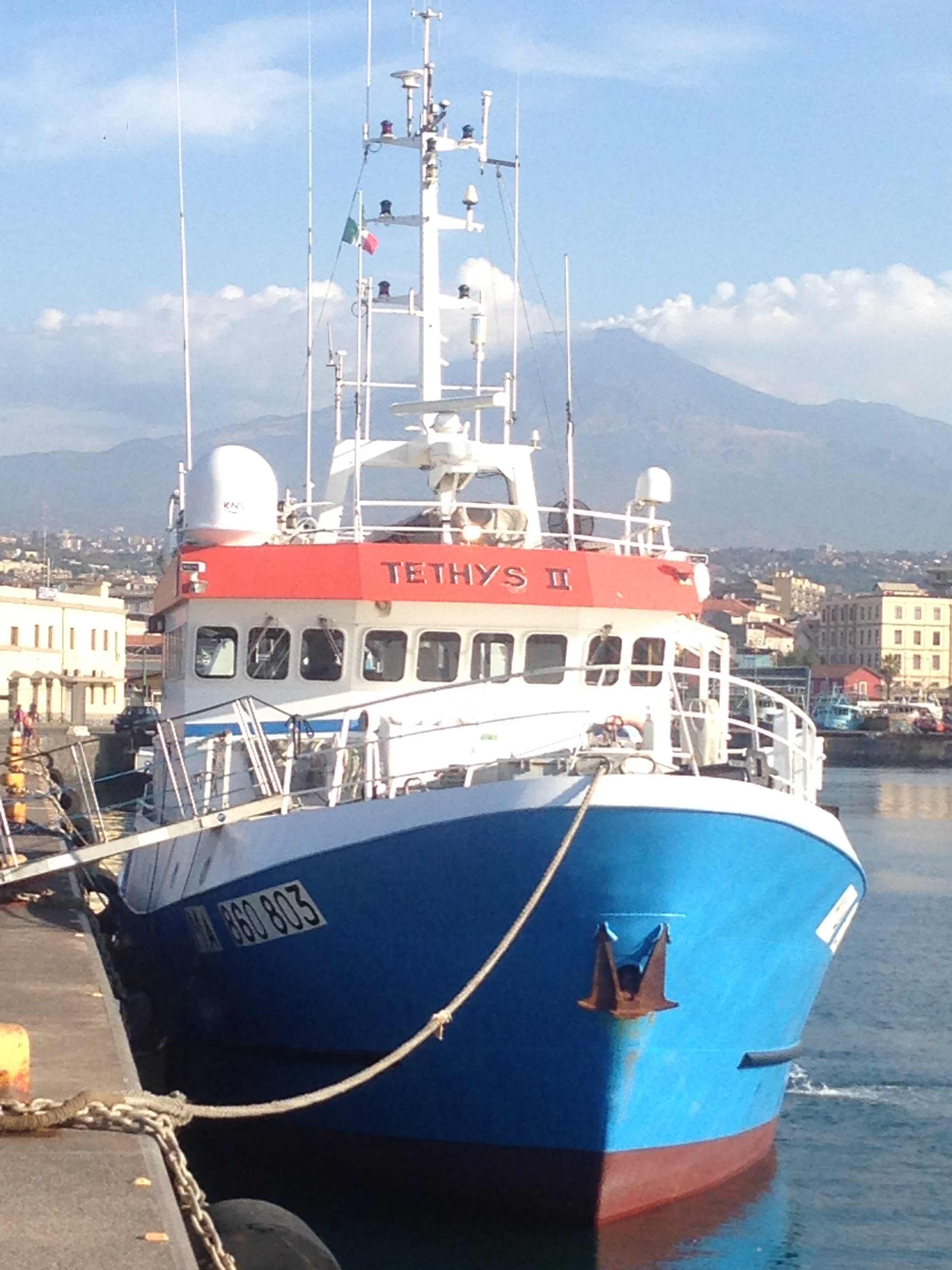
| Ship | Téthys II |
| Ship owner | CNRS until 2019 - IFREMER since 2020 |
| Dates | 18/08/2016 - 03/09/2016 |
| Chief scientist(s) | GUTSCHER Marc-André  |
GEO-OCEAN - UMR 6538 Univ. Brest, CNRS, Ifremer, Univ. Bretagne Sud Place Nicolas Copernic 29280 Plouzané |
|
| DOI | 10.17600/16008600 |
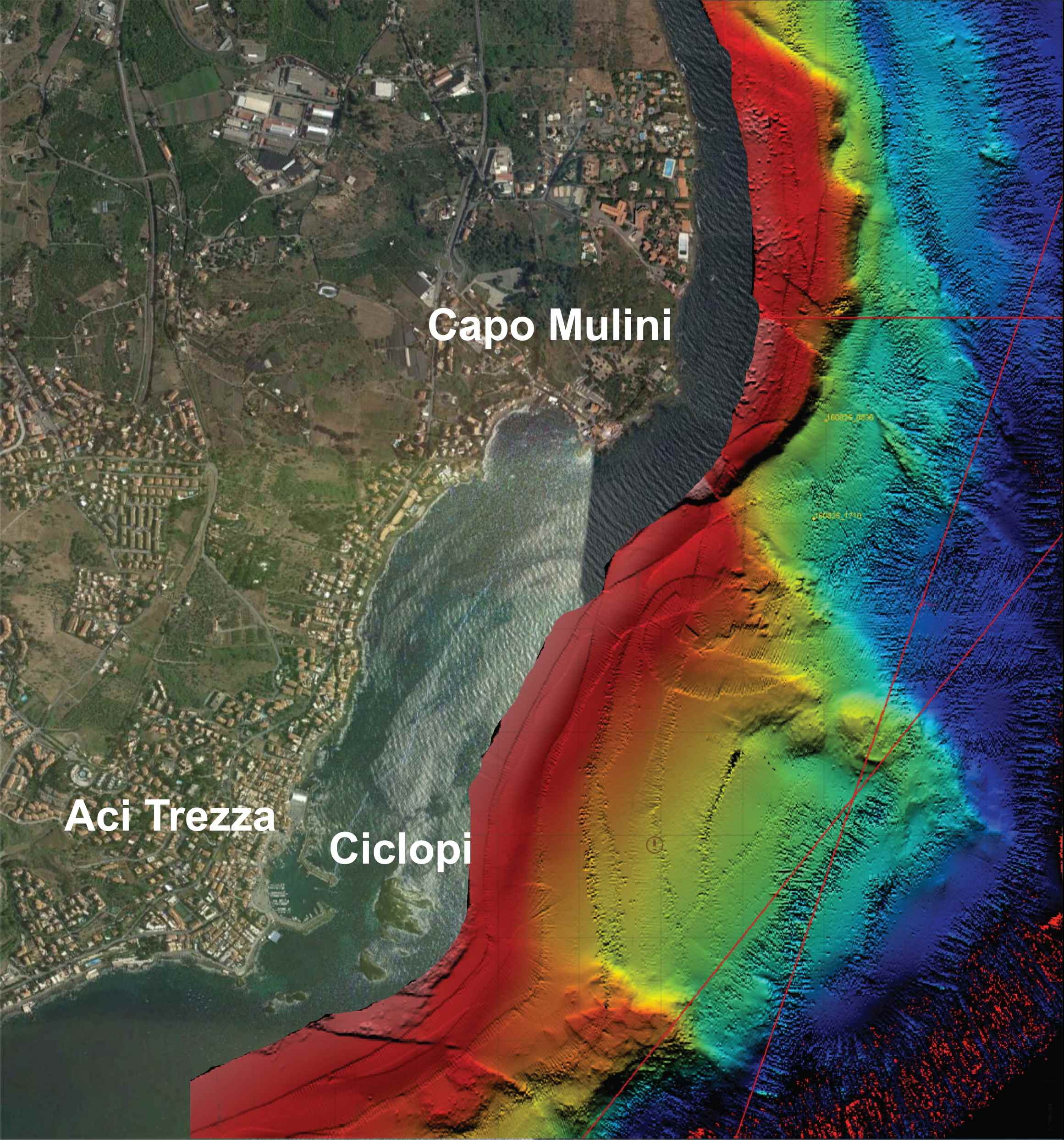
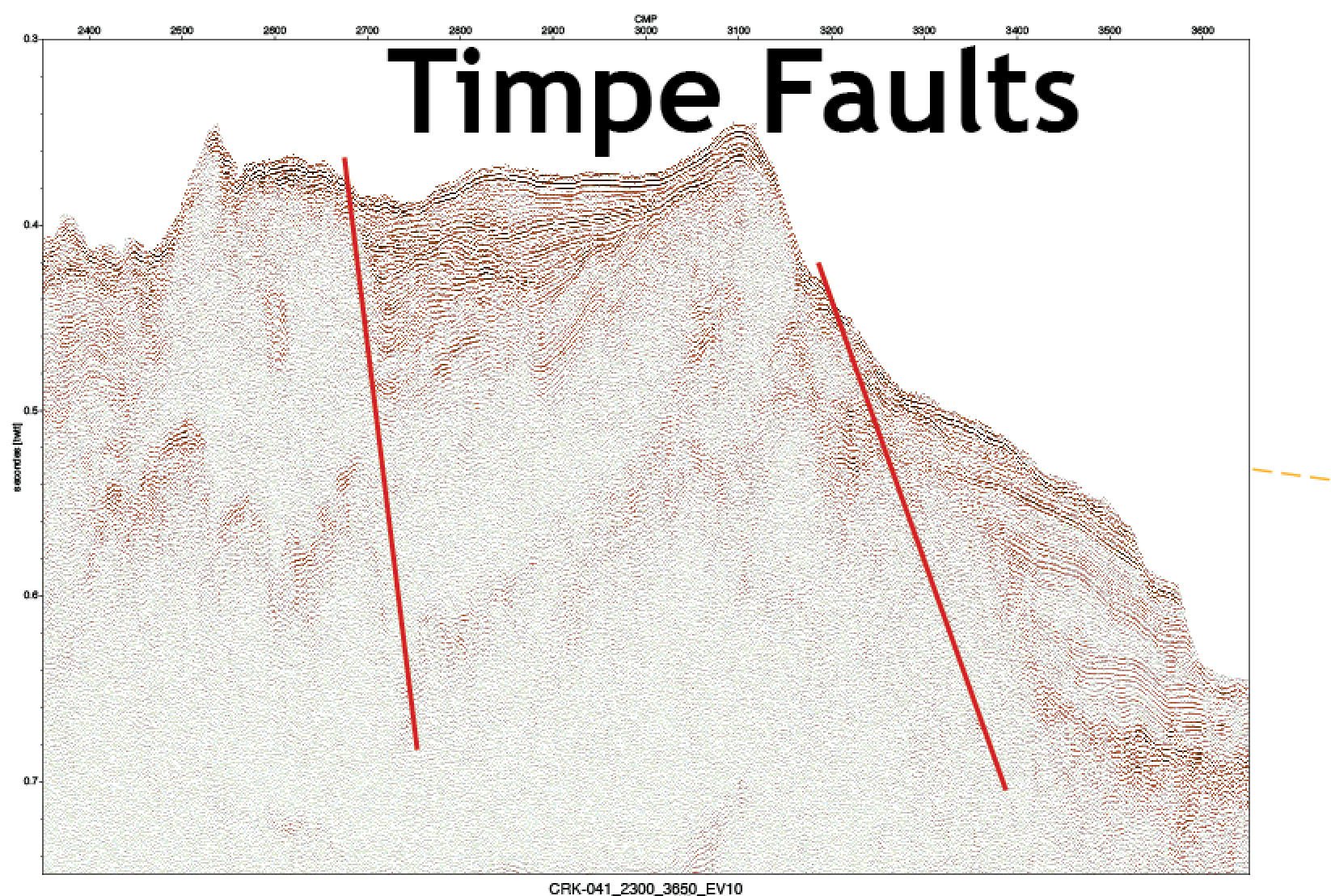
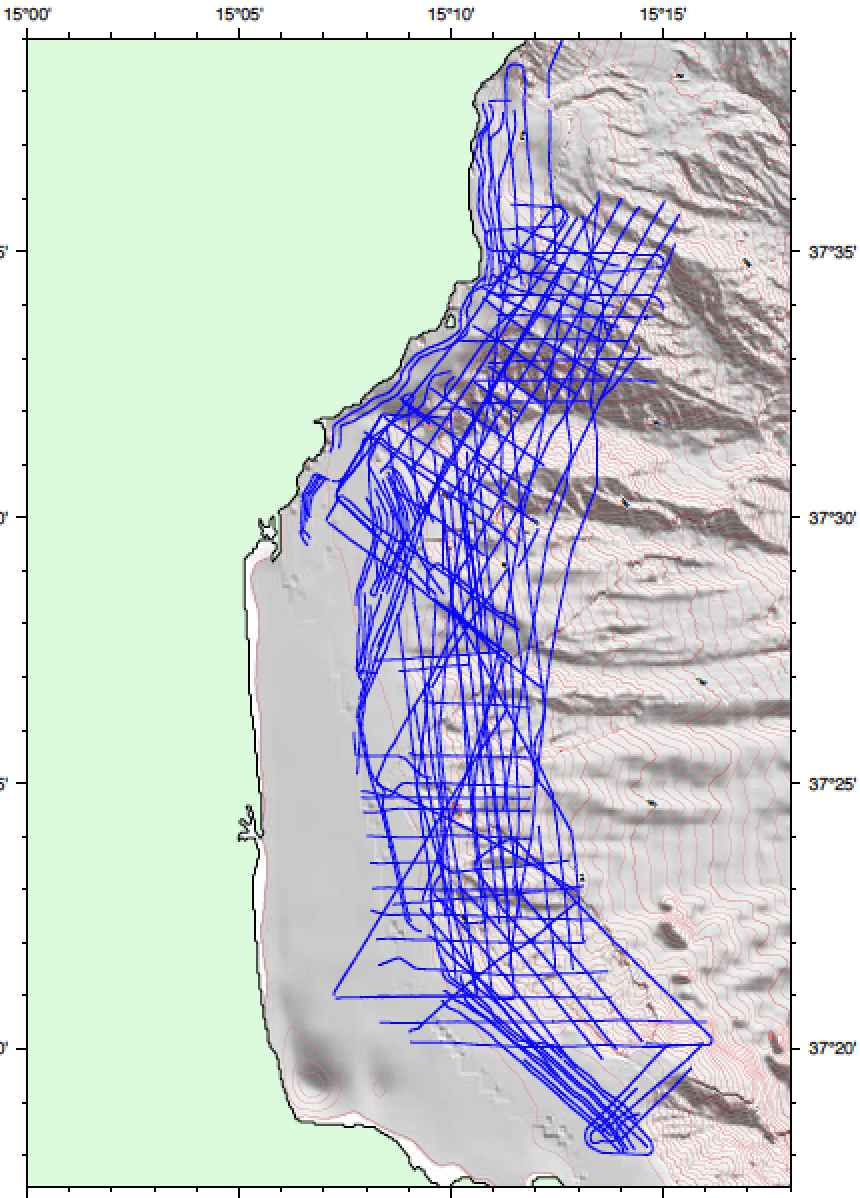
| Objective | The purpose of the CRACK project was to investigate the coastal zone offshore eastern Sicily in order to identify active and potentially seismogenic faults. New geophysical data (shallow water bathymetry and sparker seismics) were acquired establishing connections between faults mapped onshore and those mapped in deeper waters. This geophysical survey was the third in a series of cruises in recent years with Italian and German partners including the CIRCEE survey (R/V Suroit Oct. 2013) and the DIONYSUS survey (R/V Meteor Oct. 2014). The objective of this marine geophysical survey was to quantify the deformation on the seafloor offshore Eastern Sicily in the Etna-Catania region. Deformation here is thought to be related to a network of faults mapped in recent surveys The goal is to improve current estimates of the seismic hazard posed by these faults. We also acquired seismic sections in some sectors nearly 3-D, of the shelf strata in two different tectonic settings; on a steep slope marked by rapid subsidence (flank of Mt. Etna) and a flat shelf with only minor vertical movements, and which therefore recorded sea-level low stands, structures also observed using the same techniques offshore Morocco on the Atlantic coast and on the Mediterranean (Le Roy et al., 2014; d'Acremont et al., 2014). The cruise has received support from the INSU (pre-campagne) and the excellence Project LabexMer. |


