ZEEGASC2
| Type | Campagne océanographique |
|---|---|
| Navire | L'Atalante |
| Propriétaire navire | Ifremer |
| Dates | 16/05/1997 - 09/06/1997 |
| Chef(s) de mission | LE SUAVE Raymond |
GEO-OCEAN - UMR 6538 Univ. Brest, CNRS, Ifremer, Univ. Bretagne Sud Place Nicolas Copernic 29280 Plouzané |
|
| DOI | 10.17600/97010070 |
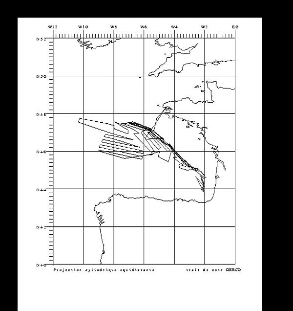
| Objectif | La campagne ZEE GASCOGNE 2 fait partie du programme "cartographie des fonds marins français" ou "programme ZEE". Elle fait suite à la campagne ZEE GASCOGNE 92. Elle a pour objectif principal de terminer le levé systématique (plateau continental exclu) de la façade Atlantique, comprise dans la limite de la Zone Economique Exclusive. Outre le levé avec les sondeurs EM12D et EM950, des données de 3,5 kHz, sismique rapide, magnétisme et gravimétrie ont été acquises. |