SONARMONT 2
| Type | Oceanographic cruise |
|---|---|
| Ship | Notre Dame |
| Ship owner | Pleine Mer de la Houle |
| Dates | 09/05/2003 - 15/05/2003 |
| Chief scientist(s) | BLANCHARD Michel |
DYNECO-LEBCO LABORATOIRE D'ÉCOLOGIE BENTHIQUE CÔTIÈRE IFREMER Centre de Bretagne ZI Pointe du diable CS 10070 29280 PLOUZANE +33 (0)2 98 22 49 19 |
|
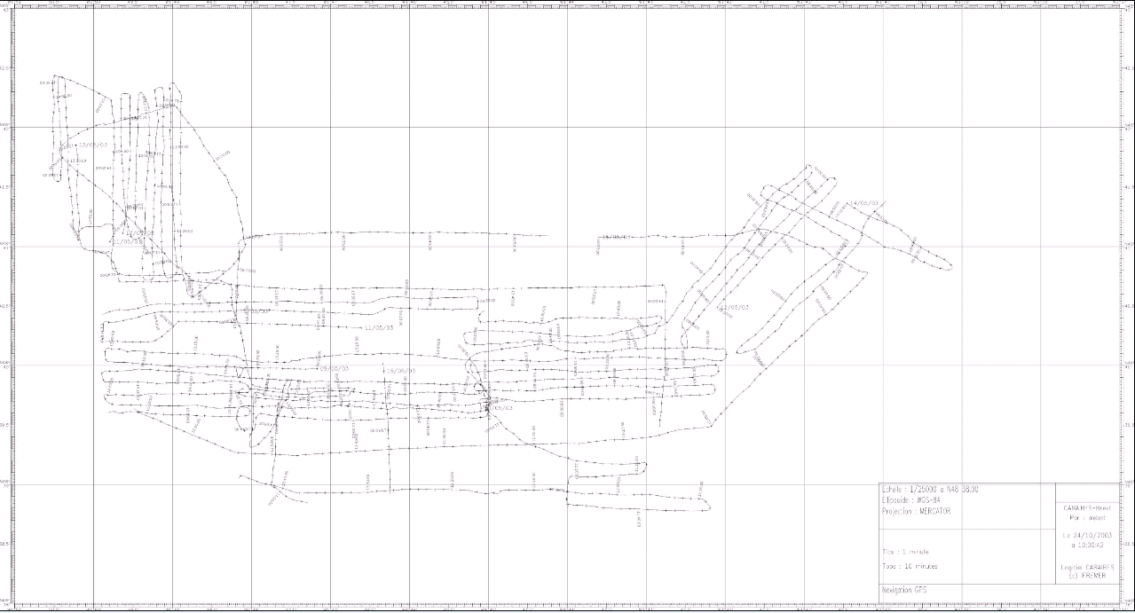
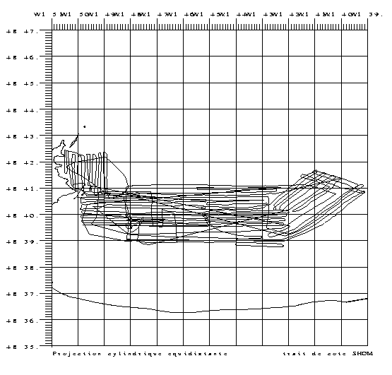
| Objective | Mapping and assessment of the Crepidula fornicata population in the south-Chausey area. This marine gastropod was introduced into France some fifty years ago and has proliferated in various areas along the coast. Amongst the most affected sectors, the entire bay of Mont Saint-Michel is certainly where its density is highest. A recent assessment (Blanchard and Ehrhold, 1999) gave a stock of about 150,000 tons over the entire bay. The zone is currently being studied in a multidisciplinary framework of the PNEC (national coastal ecology program) to understand and assess the circulation of nutrient fluxes and model them. To this end, we needed to know the stock of each of the main species in the sector in place. This is done by this cruise with an updating of the species, using acoustics and submarine video techniques followed by quantitative samples for stock assessment. Sonarmont2 covered a 50 km2 sector located at the back of the Mont Saint-Michel Bay; providing a shallow water complement to studies carried out further offshore during the Sonarmont1 cruise. |