| Sea/Ocean |
Northeast Atlantic Ocean (40W) (au large des Acores) |
| Ports |
Port of departure : Horta (Portugal)
Port of return : Horta (Portugal)
|
| Scientific Authority |
DEPARTEMENT GEOLOGIA FAC. CIENCAS (GeoFCUL) Edificio C6, Piso 2 , Campo Grande 1749-016 Lisboa +351 1 750 0066/77 https://ciencias.ulisboa.pt/en/ |
| Participating bodie(s) |
LMG, FCUL, DOP-UAC , UALG, IFREMER, IGM portugal, NIO |
| Discipline(s) |
- BIOLOGICAL OCEANOGRAPHY
- MARINE GEOSCIENCES
| Code |
Label |
Quantity |
PI |
| B20 |
Molluscs cages a moules |
- |
BARRIGA Fernando |
| G04 |
Core soft bottom |
- |
BARRIGA Fernando |
| G08 |
Bottom photography photo et video |
- |
BARRIGA Fernando |
| G24 |
Long to short range side scan sonar imagerie de l'EM12 |
- |
BARRIGA Fernando |
| G27 |
Gravity measurements KSS30 et BGM5 |
- |
BARRIGA Fernando |
| G73 |
Single-beam echosounding |
- |
BARRIGA Fernando |
| G74 |
Multi-beam echosounding acquisition EM12D |
- |
BARRIGA Fernando |
| G90 |
Other geosciences meas. prelevements de roches |
- |
BARRIGA Fernando |
| H13 |
Bathythermograph XBT |
- |
BARRIGA Fernando |
| H71 |
Surface measurements underway (T,S) thermosalinomètre et thermomètre TQP |
- |
BARRIGA Fernando |
| M06 |
Routine standard measurements centrales vent et météo |
- |
BARRIGA Fernando |
|
| Summary of measurements |
- -ROV Victor 6000 dives (fluid and rock samples, core samples, video and photo).
-Deployment of cage moorings.
-Dredging.
|
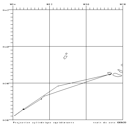
| Location map |
|
| Positionning system |
Geodetic system : WORLD GEODETIC SYSTEM 1984 = WGS84
Positioning system : GPS naturel et différentiel
|
|


